
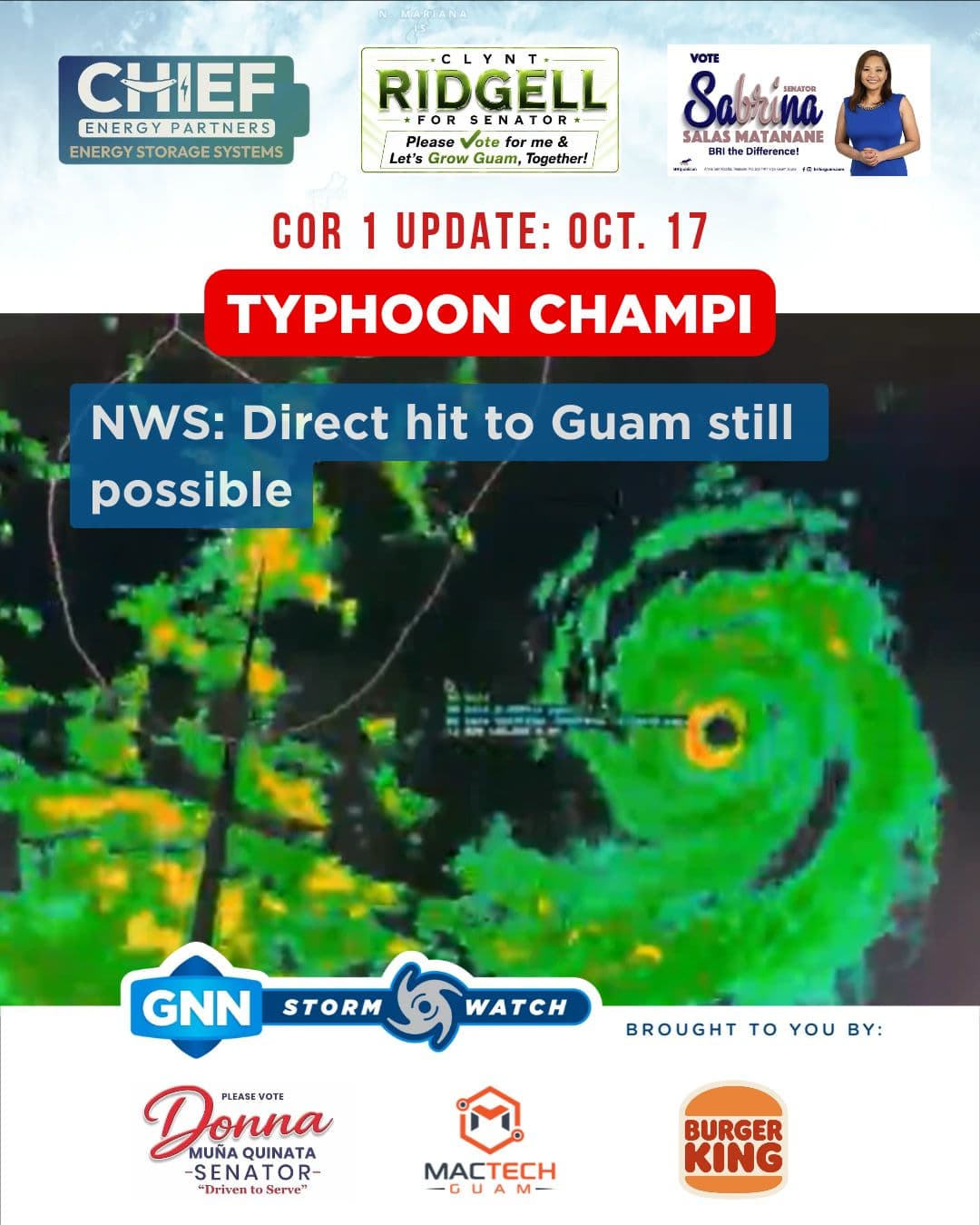
Closest point of approach for Typhoon Champi has shifted to between 4 a.m. and 6 a.m., Sunday, according to National Weather Service Guam officials who added "a direct hit to Guam remains a possibility," if the track shifts north.
A fluid situation, in a matter of hours, Typhoon Champi has intensified from a Category 2 to a Category 4 typhoon with 150 mph maximum sustained winds expected at peak.
The storms current tracking has southern Guam in Champi's crosshairs.
"Even if the eye is offshore to the south, that eyewall and its peak winds could still encompass southernmost Guam, the villages of Malesso and Inarajan, Umatac as well. So, keep that in mind," Aydlett said.
Residents in southern Guam can expect Category-4 conditions, while residents in the central and north can anticipate Category-3 conditions with Category 4 condition a possibility.
"That error cone continues to narrow. That's good news for the CNMI, Saipan and Tinian, their likelihood of typhoon-force conditions: very low. You're not going to be seeing those. But for Rota, you're going to still see those severe tropic storm-force conditions as we go through the next 12 hours," Landon Aydlett said.
Weather officials said a deviation north or south is a possibility but as the night progresses the likelihood of a significant jump diminishes.
At around 9 p.m. Meteorologist in Charge Brandon Aydlett and Forecaster Jack Kennedy, released a weather balloon or sounding balloon into the sky ahead of Typhoon Champi's landfall to collect atmospheric data from high altitudes ton include wind speeds which will assist weather officials with monitoring and predicting weather conditions. Another weather balloon may be released later tonight.
This storm watch update is brought to you by senatorial candidates Clynt Ridgell, "Let's Grow Guam Together"; Sabrina Salas Matanane, "Bri the Difference"; and Chief Energy Partners, "Your Power. Your Terms. Your Lifestyle." Special thanks to sponsors Donna Muna Quinata, "Driven to Serve"; Burger King; and MacTech Guam.