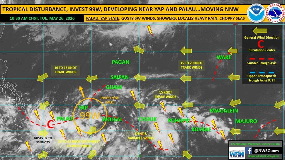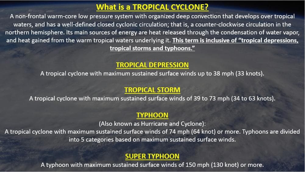
A tropical disturbance tracking near Yap State is expected to develop into a tropical depression by Wednesday but poses no threat to Guam or the Commonwealth of the Northern Mariana Islands, the National Weather Service Guam forecast office said Tuesday.
Invest 99W, currently located near 8.4°N, 138.8°E, has been upgraded to medium potential for development by the Joint Typhoon Warning Center, indicating tropical cyclone formation is likely within 48 hours. The system is forecast to move north-northwest into the Philippine Sea as it continues to organize.
"99W does not pose a threat to Guam or the CNMI, and will keep well to the west," NWS Guam Weather Coordination Meteorologist Landon Aydlett said in the weekly regional outlook issued Tuesday morning.
For Guam and the Marianas, moderate to fresh trade winds will continue through the week with a mix of sun and spotty showers. Combined seas are expected to build from 3 to 5 feet to around 6 to 8 feet by week's end as long-period north and southwest swells arrive.
Palau and Yap State will bear the brunt of 99W's influence, with strong gusty winds, heavy rainfall and thunderstorms forecast through the week. A Special Weather Statement has been issued for western Micronesia.
No drought concerns exist for the region at this time, though below-normal rainfall is expected for Palau and Yap State over the next several weeks.