
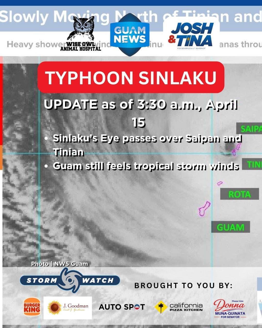
Typhoon Sinlaku's eye moved just west of Saipan early Wednesday as the dangerous Category 4 storm continued its slow northwest track through the Marianas, bringing catastrophic conditions to the Northern Mariana Islands while Guam remained under tropical storm force winds.
The National Weather Service Guam reported gusts of 130 mph at Saipan as the eyewall made landfall. On Guam, gusts peaked at 88 mph overnight and have remained consistently between 70 and 80 mph through the early morning hours.
Sinlaku's maximum sustained winds stand at 145 mph, moving northwest at just 5 mph.
Typhoon warnings remain in effect for Rota, Tinian, Saipan, Pagan, Alamagan and Agrihan. Guam is under both a tropical storm warning and a typhoon watch.
Dangerous surf is compounding the threat across the region. Wave heights reached 26.41 feet at the Ipan Buoy and 31.50 feet at the Tanapag Buoy as of the 3:30 a.m. update. Significant coastal inundation is expected to continue regionwide.
Flash flooding and lightning remain threats across the entire region as heavy rain bands and isolated thunderstorms persist.
Sinlaku is forecast to continue weakening slightly as it tracks northward, passing west of Alamagan, Pagan and Agrihan later this week.
Residents are urged to monitor NWS Guam at weather.gov/gum and follow all directions from local government officials.
This Storm Update is brought to you by Storm Sponsors: Tenorio Muna Barnes-Building Guam’s future together and Wise Owl Animal Hospital.