
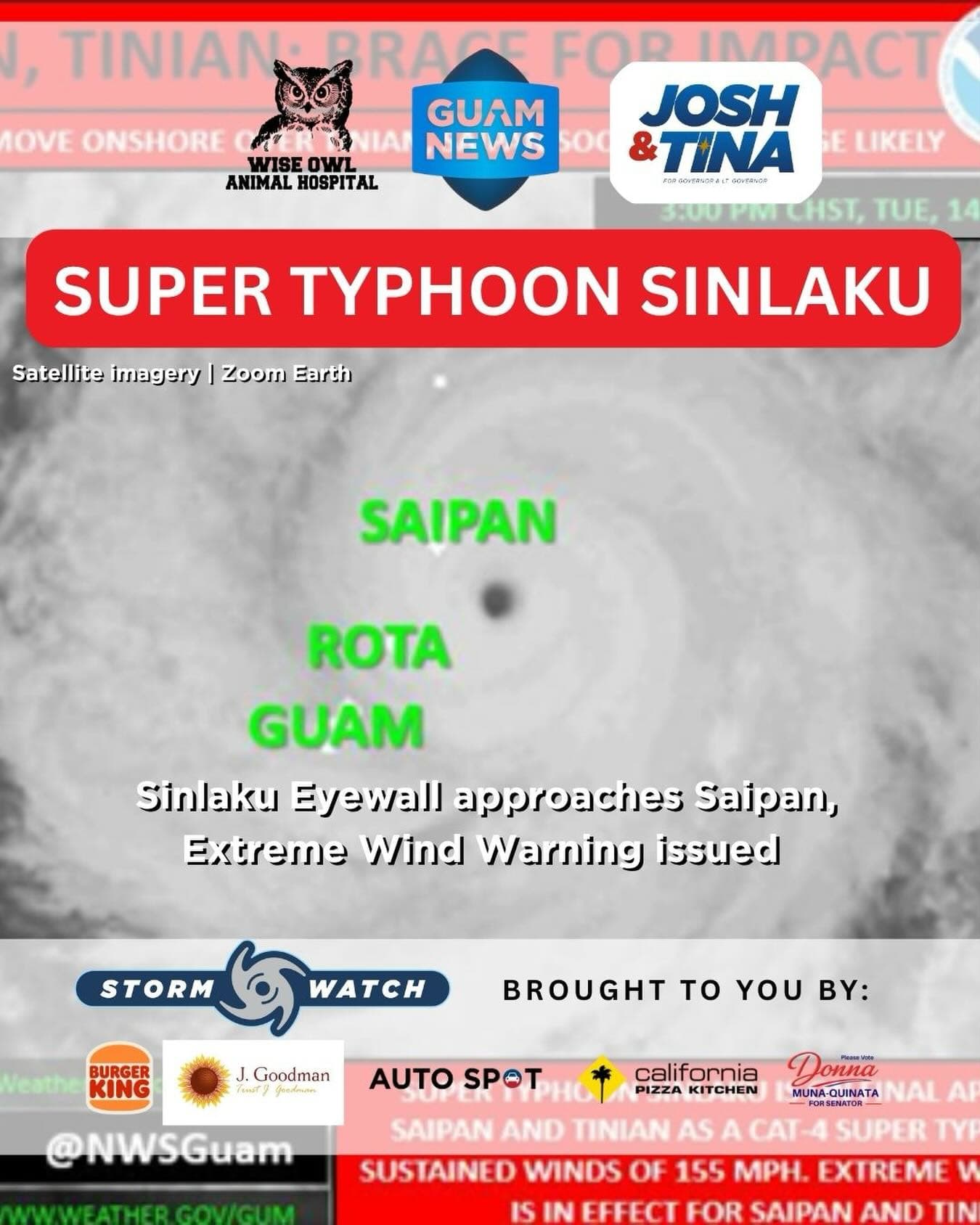
NWS UPDATE 3 p.m., ChST, Tuesday, April 14
Super Typhoon Sinlaku was on final approach to Saipan and Tinian Tuesday afternoon with an eyewall passage imminent for both islands early this evening, as an Extreme Wind Warning was issued for the two Northern Mariana Islands, the National Weather Service warned at 3 p.m.
As of 1 p.m., Sinlaku was located 40 miles southeast of Saipan and 45 miles southeast of Tinian, moving northwest at 9 mph with maximum sustained winds of 155 mph. Though undergoing a slow, gradual weakening trend, Sinlaku remains a dangerously powerful super typhoon. Typhoon-Force winds extend 75 miles outward from the center, with Tropical Storm-Force winds reaching 265 miles out.
Wind gusts exceeding 100 mph were already recorded at Saipan International Airport over the last several hours. Peak winds are expected around sunset, with the eye passage likely near or after sunset Tuesday. Violent typhoon conditions are expected to persist through tonight.
Typhoon Warnings remain in effect for Rota, Tinian, Saipan, Alamagan, Pagan and Agrihan. A Tropical Storm Warning and Typhoon Watch remain in effect for Guam.
For Guam, the closest point of approach has passed but peak conditions will persist through early Tuesday evening, with Tropical Storm-Force winds continuing through Wednesday morning. Significant damage is expected through the duration of Sinlaku’s passage across the CNMI.
All CNMI residents must remain in safe shelter. Do not go outside until the all-clear is issued.
Updates at weather.gov/gum/cyclones. Crisis Lifeline: 988, available 24/7.
This Storm Update is brought to you by Storm Sponsors: Tenorio Muna Barnes-Building Guam’s future together and Wise Owl Animal Hospital.