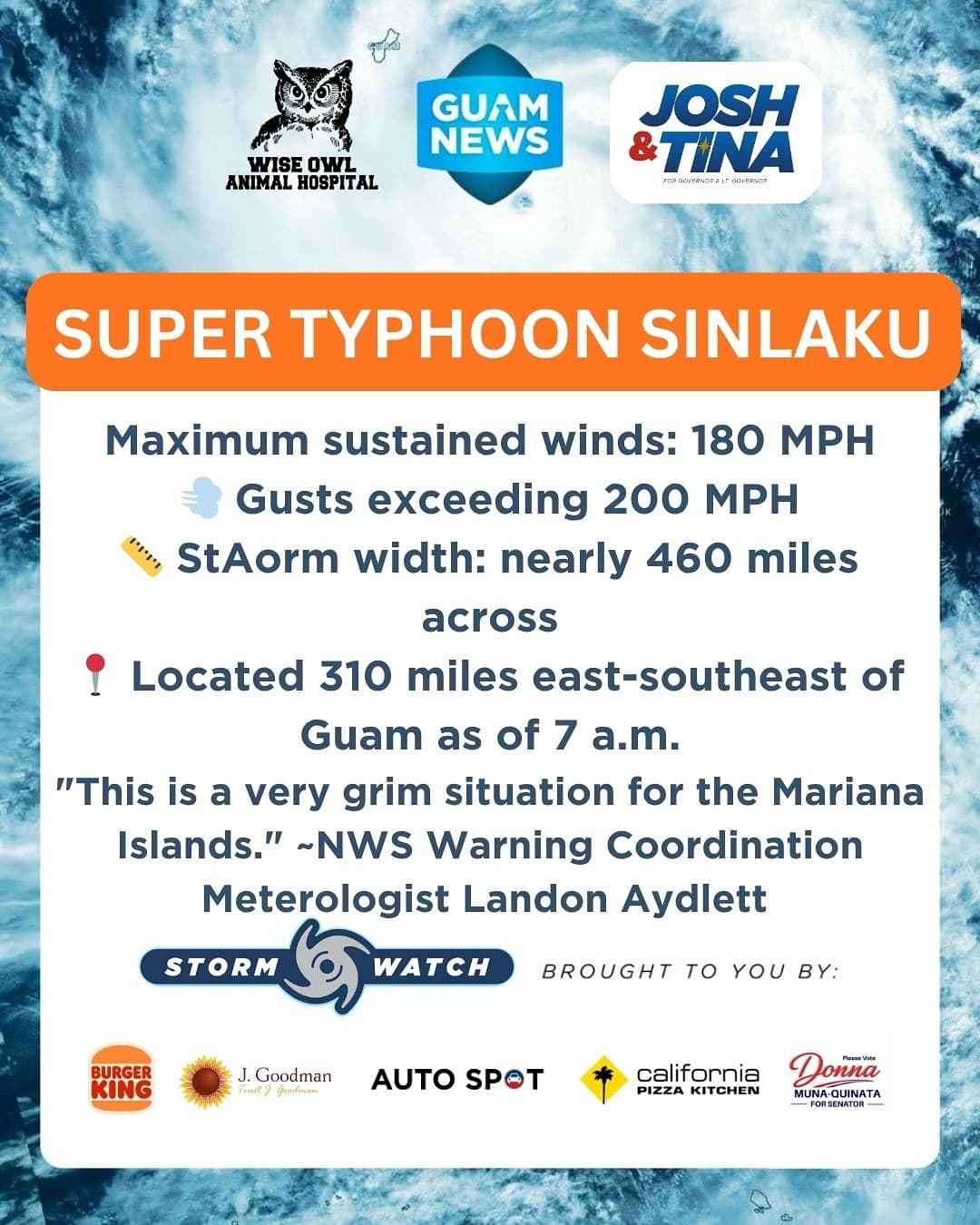
Super Typhoon Sinlaku barreled toward the Marianas Monday morning with maximum sustained winds of 180 mph, its forecast track now aimed directly at Tinian and Saipan, the National Weather Service warned.
As of 7 a.m., Sinlaku was 310 miles east-southeast of Guam, stretching nearly 460 miles across its tropical storm force windfield. “This is a very grim situation for the Mariana Islands,” NWS Warning Coordination Meteorologist Landon Aydlett said.
By Island
Tinian and Saipan face the worst — winds of 130 to 160 mph, gusts to 180 mph, 20-plus inches of rain, seas of 30 to 40 feet and coastal inundation of 4 to 7 feet. Damaging winds arrive tonight.
Rota faces category one typhoon conditions with winds of 55 to 65 mph and inundation of 3 to 5 feet.
Guam remains under a Tropical Storm Warning with winds of 40 to 50 mph, gusts to 65 mph and inundation of 1 to 3 feet expected tonight. A southward shift toward Guam is possible but increasingly unlikely.
Shelter Now
Monday morning conditions are the best residents will see for days. NWS urged all CNMI residents not in concrete structures to move to shelter immediately. “You’ve got about 18 hours before damaging winds arrive.”
If the eye passes overhead, do not go outside — the back side of the eye wall arrives quickly and can last another 12 hours.
The GBHWC Crisis Lifeline is available 24/7 at 988. Updates at weather.gov/gum.
This Storm Update is brought to you by Storm Sponsors: Tenorio Muna Barnes-Building Guam’s future together and Wise Owl Animal Hospital.