
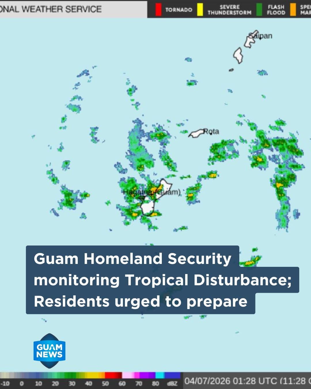
The Office of Guam Homeland Security and Office of Civil Defense is monitoring a developing tropical disturbance southeast of Guam that could impact the Marianas in the coming days.
According to the National Weather Service Guam Weather Forecast Office, Invest Area 90W is slowly consolidating and tracking west-northwest, with a potential path that could bring it near or over Guam, or alternatively north or south of the island.
Forecasters said uncertainty remains high, but the system could bring increasing showers, thunderstorms and gusty winds to the Marianas over the weekend into early next week.
Officials are urging residents and visitors to begin early preparations, especially those in flood-prone areas. Recommended actions include clearing drainage systems, securing loose outdoor items and staying informed through official weather updates.
Drivers are advised to exercise caution during heavy rainfall due to reduced visibility and slick road conditions. Authorities also emphasized the safety message: “Turn Around, Don’t Drown,” warning against walking or driving through floodwaters.
Outdoor activities near streams and rivers should be avoided during severe weather, and residents are reminded that tents and canopies do not provide adequate shelter during thunderstorms.
OHS-OCD said it will continue to monitor the disturbance and provide updates as conditions evolve.