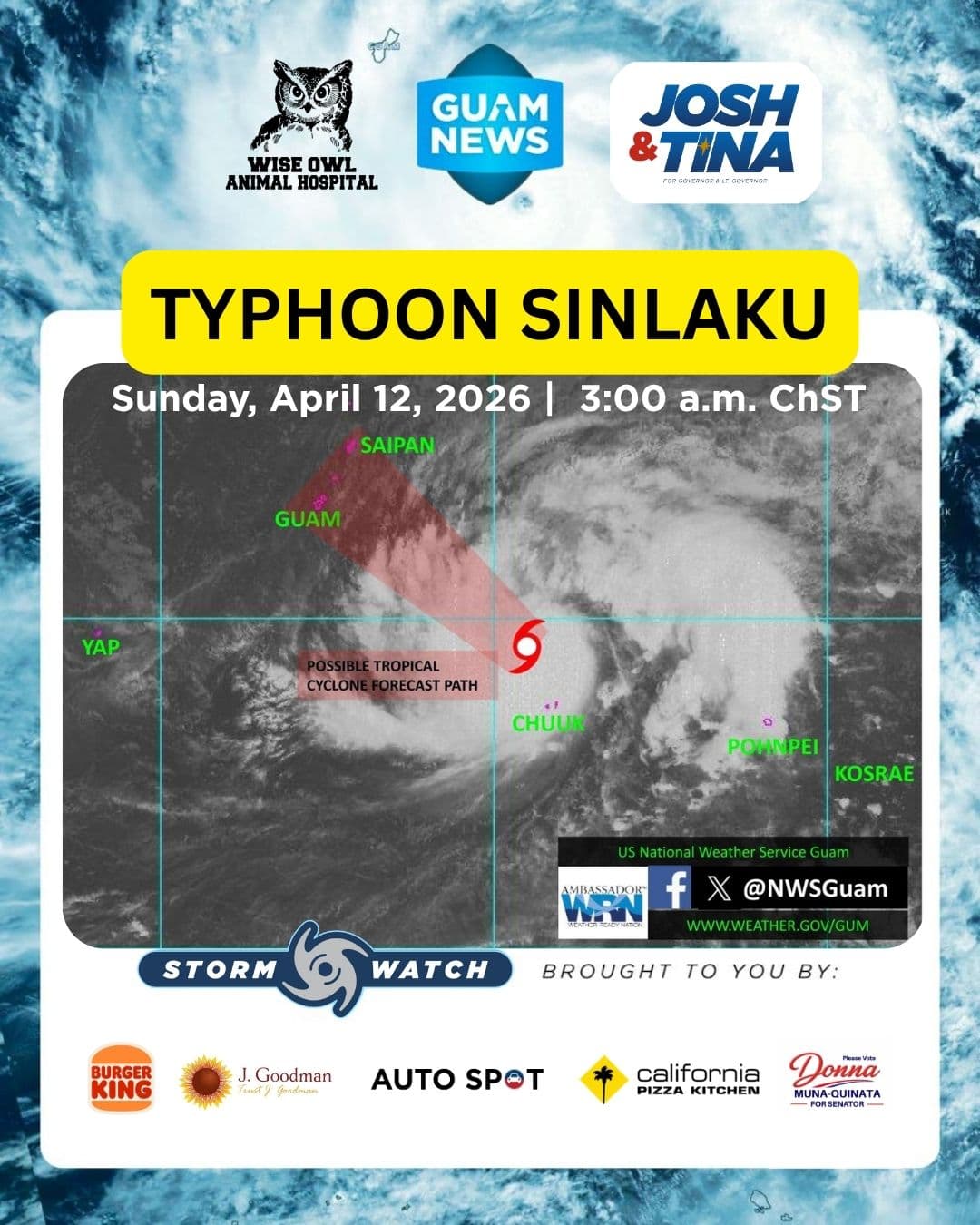
Typhoon Sinlaku (04W) is slowly tracking toward the Mariana Islands with Guam and Rota squarely in its projected path, according to a 3 a.m., Sunday advisory from the National Weather Service Guam.
As of 1 a.m., Sinlaku was 135 miles north-northwest of Chuuk, packing maximum sustained winds of 100 mph and moving northwest at 5 mph.
Warnings and Watches
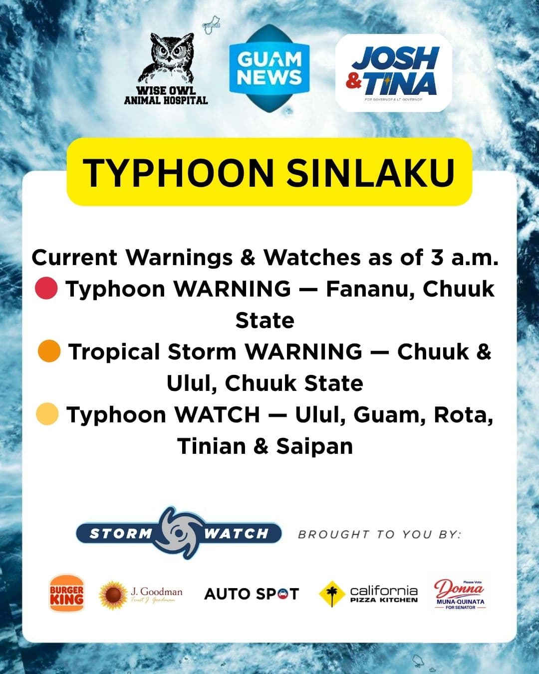
Fananu in Chuuk State is under a Typhoon Warning. Chuuk and Ulul in Chuuk State are under a Tropical Storm Warning. A Typhoon Watch is in effect for Ulul, Guam, Rota, Tinian and Saipan.
Track and Timing
The Joint Typhoon Warning Center projects Sinlaku threading between Guam and Rota. Models show some spread in the potential track, though forecasters say the range is narrowing and will continue to do so over the next 12 to 24 hours.
Conditions across the Marianas are expected to deteriorate Monday morning, with Tropical Storm-Force winds most likely arriving Monday. The far northern Marianas could see Tropical Storm-Force winds around Tuesday.
Outlying Areas
Heavy showers in Pohnpei State will gradually decrease as Sinlaku moves away. Yap State can expect hazardous conditions for small craft beginning Sunday into next week.
Authorities are urging residents to complete preparations immediately and not wait for warning upgrades before taking action.
This Storm Update is brought to you by Storm Sponsors: Tenorio Muna Barnes-Building Guam’s future together and Wise Owl Animal Hospital.