
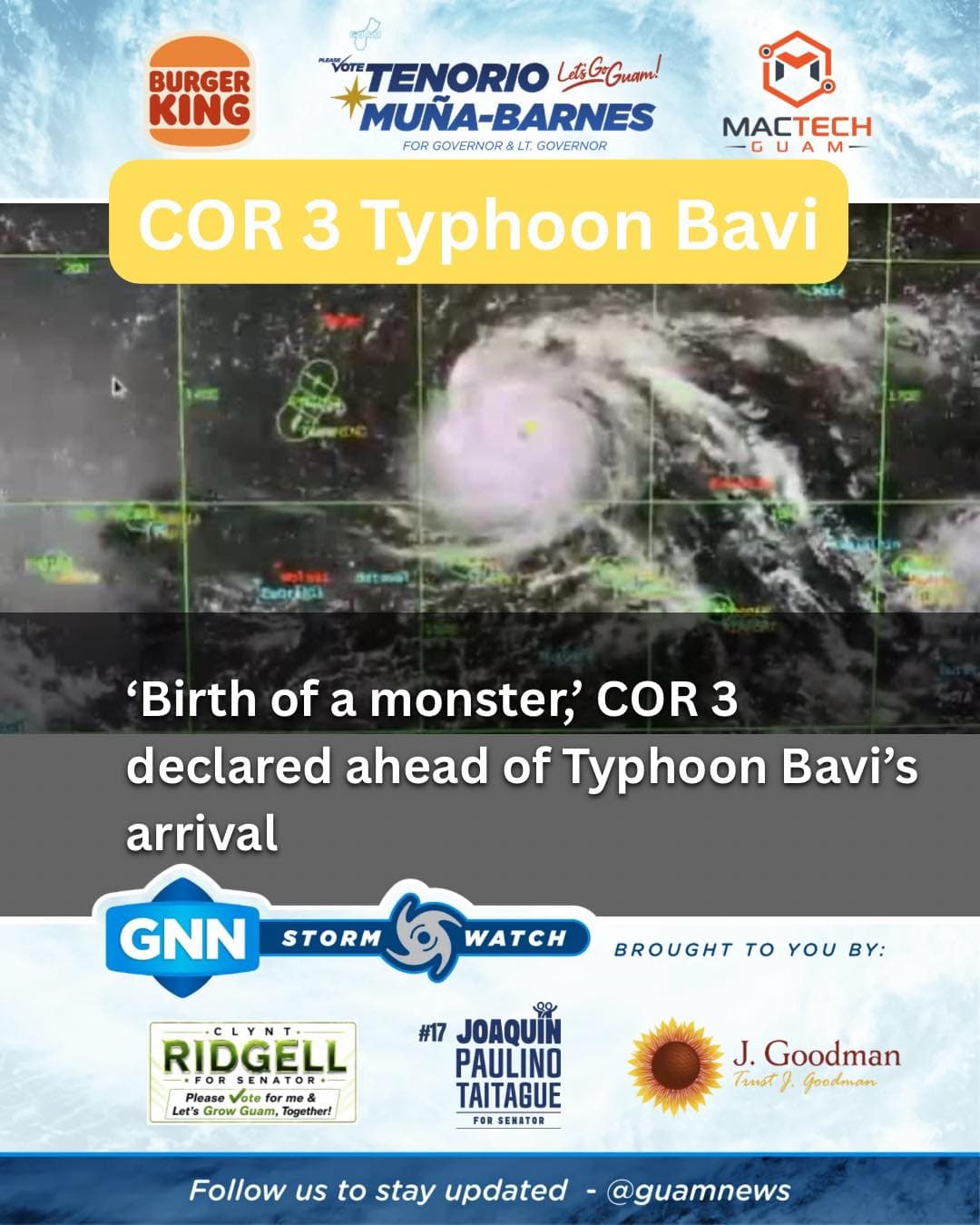
Editor's note: This story reflects the correct graphic heading COR 3 Typhoon Bavi.
As of 4 p.m. Friday, a flood watch was issued through Tuesday night for Guam, which was placed in Condition of Readiness (COR) 3 an hour prior by Gov. Lou Leon Guerrero based on forecast projections from the National Weather Service (NWS).
Typhoon Bavi's rapid intensification throughout the day concerned NWS Warning Coordination Meteorologist Landon Aydlett, who in a 4:30 p.m. update said "we are seeing the birth of a monster for the region."
"This poses a significant threat to ... Guam, Rota, Tinian and Saipan," he added, noting Bavi was as of 1 p.m. "a strong Category 2 typhoon."
Aydlett tied the "imminent threat" to the shifts and wobbles Bavi is expected to make over the next few days, as the storm has begun turning west at 15 mph.
"Eventually it's going to turn back to the west-northwest," he said, noting it continues on a heading toward the Marianas "somewhere between Guam and Saipan."
Aydlett and his team at NWS Guam in Tiyan have tracked the storm's evolution using satellite imagery and data. During a 2 p.m. briefing at the Guam Homeland Security/Office of Civil Defense (GHS-OCD) Emergency Operations Center, he said a direct hit would have "tremendous" impacts, noting the potential for Bavi to pass through the Marianas as a super typhoon.
"With the rainfall, surge, inundation, significant waves and really the winds — 165 mph sustained winds at the time of passage — that's potentially a destructive, catastrophic situation for us. It will exceed what we've experienced with Mawar," Aydlett said, noting the uncertainty of Bavi's intensity upon passage given that 48 to 60 hours remained for the storm to rapidly intensify before its anticipated arrival.
If Bavi tracks further toward Tinian or Saipan, he said, Guam and Rota are not out of the woods.
"Guam, Rota, do not let your guard down because this thing can still shift. We have a lot of time, a lot of distance for this thing to evolve over the next two days," Aydlett said at 4:30 p.m.
Earlier in the day, Aydlett said that while Bavi can be compared in some ways to other storms, "you also have to treat every storm different because every storm environment is slightly different from others."
He attributed the differences to steering influences, intensification patterns, trends, track, and genesis or origin.
At 5 p.m. Friday, Bavi was centered 620 miles east of Guam with maximum sustained winds of 105 mph.