
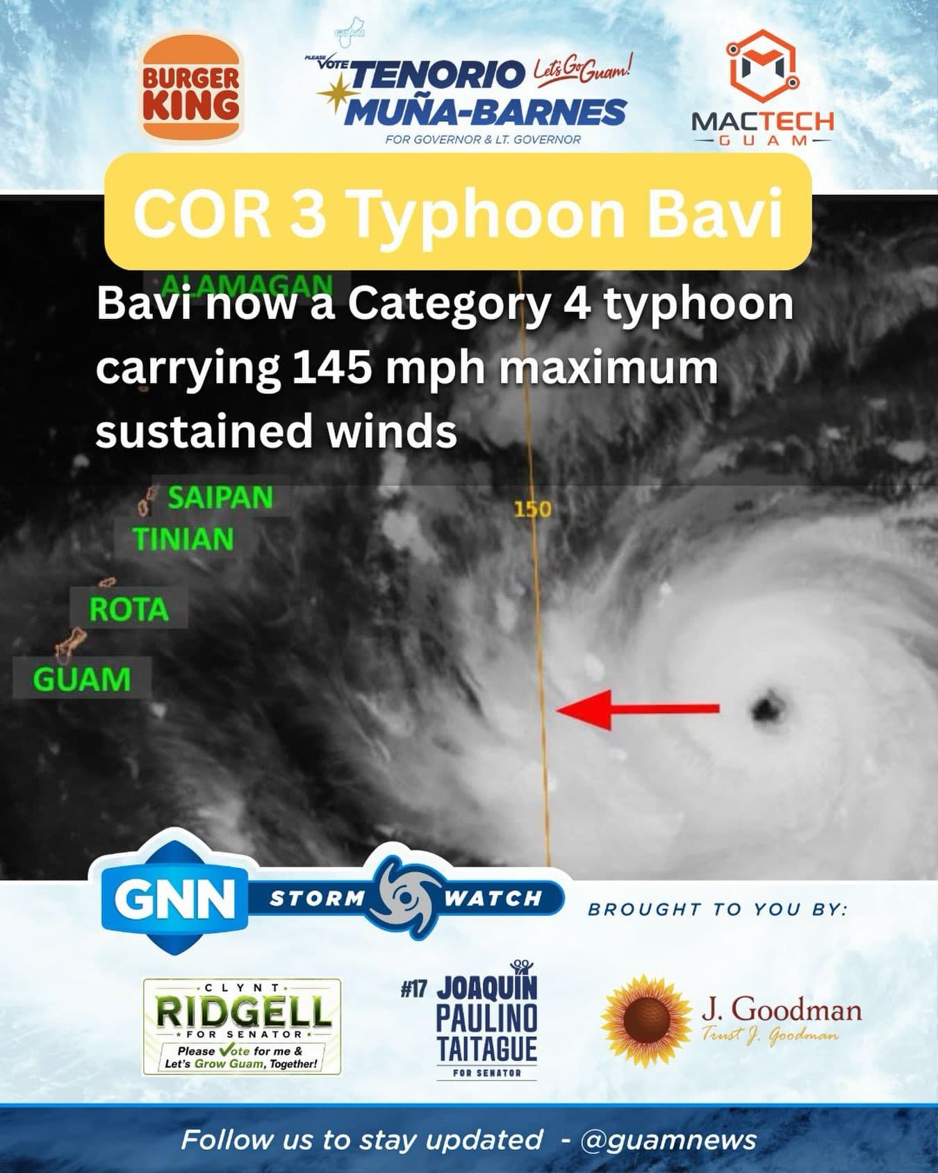
As of 2 a.m. July 4, Typhoon Bavi strengthened into a Category 4 typhoon as it maintains its heading west at 12 mph. According to the National Weather Service the forecast track projects Bavi will be a Category 5 typhoon by Monday morning.
NWS officials said throughout Sunday, Bavi which already carries maximum sustained winds of 145 mph will continue to strengthen likely reaching super typhoon strength. Forecasters reported Bavi’s typhoon force winds extend outward from the center up to 50 miles, while tropical storm force winds extend up to 150 miles to the north and up to 105 miles to the south.
“For the Marianas, shower and thunderstorm coverage will begin to increase today, followed by quickly deteriorating conditions tonight as rain bands from Bavi begin to enter Marianas coastal waters,” NWS officials said in a Tropical cyclone update.
At the time of the report, NWS said Bavi was “quote far out to the east,” which means tropical storm conditions could pick up across Guam, Rota, Tinian and Saipan beginning Sunday afternoon.
The next NWS update will be provided at 8 a.m.