
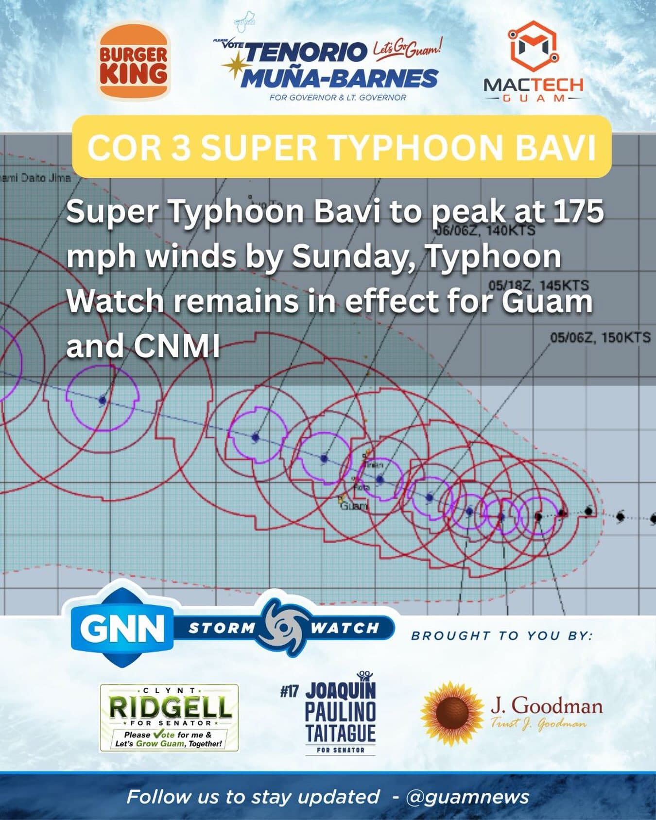
Barreling toward the Marianas, Bavi is now a Category 5 super typhoon with maximum sustained winds of 160 mph. By Sunday, peak intensity is expected to reach 175 mph.
What does this mean for Guam?
A typhoon watch remains in effect for Guam, Rota, Tinian and Saipan.
“This means that tropical storm force conditions are possible within 48 hours,” NWS said as of 7:15 a.m. July 4.
A flood watch also remains in effect for Guam through Tuesday night.
Referencing Joint Typhoon Warning Center (JTWC) Bulletin No. 12, issued at 7 a.m., weather officials said Super Typhoon Bavi was located 480 miles east of Guam and 445 miles east-southeast of Saipan.
“It was still moving west heading 265 degrees at 10 mph. Since Friday, the latest forecast track reflects a slight southward shift through the Marianas, still passing between Rota and Tinian, but now nearer to Rota,” NWS officials said.
Weather officials urged residents across all four islands to be storm-ready.
“All residents across Guam and the CNMI should plan for and anticipate at least tropical storm conditions. Islands closest to the passage, or those potentially with a direct hit, will experience much stronger conditions,” NWS said.
Between now and landfall, NWS said shifts and wobbles remain a possibility. After reaching peak intensity of 175 mph, forecasters say Bavi will begin to slow and weaken prior to passing through the Marianas.
“The current forecast track of Bavi could still shift to the north, and closer to Saipan, or to the south, and closer to Guam. These shifts remain likely in the coming days as Bavi nears. Prepare today for the protection of life and property,” NWS officials said.